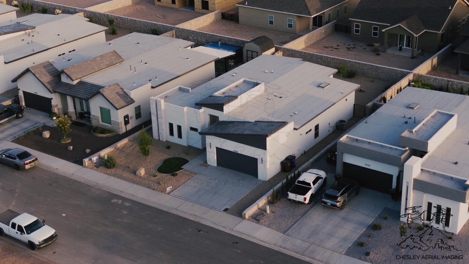
Real Estate
Drone Photography • Professional Mapping
A clear view of your property, project, or field—captured from above.
Explore CAI ↓From polished property imagery to professional-level mapping, CAI brings a clear aerial perspective to every project.
Professional aerial photography and video for real estate, properties, commercial projects, and other aerial-imaging needs.
View Photography →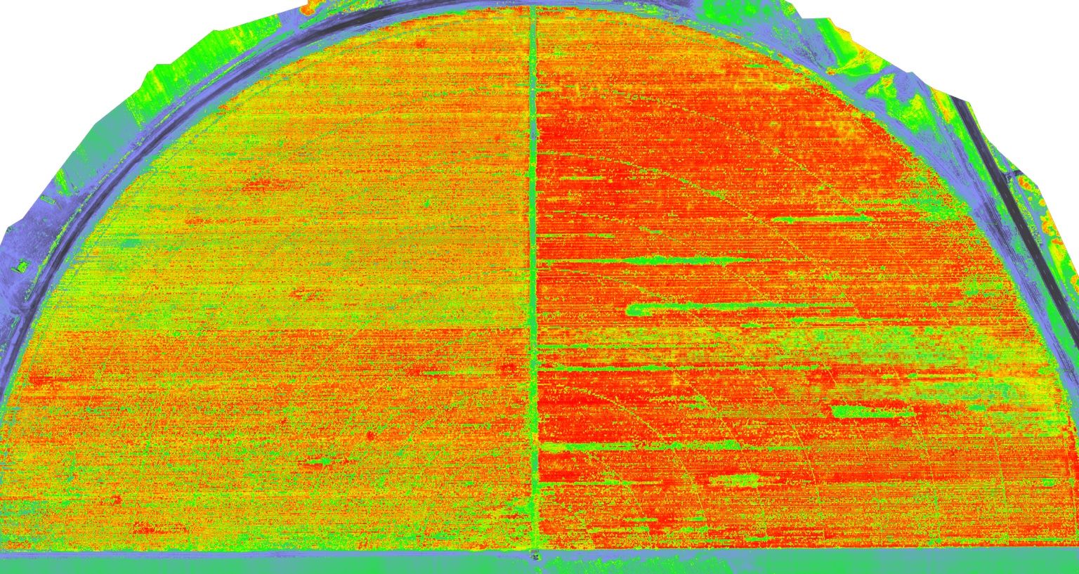
Professional aerial mapping for properties, fields, and projects that benefit from a clear, organized view of the site.
View Mapping →Aerial imagery shaped to show the setting, scale, and details that matter.
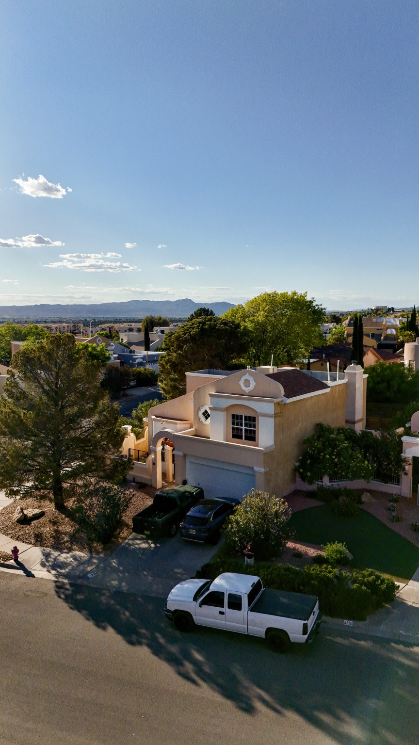
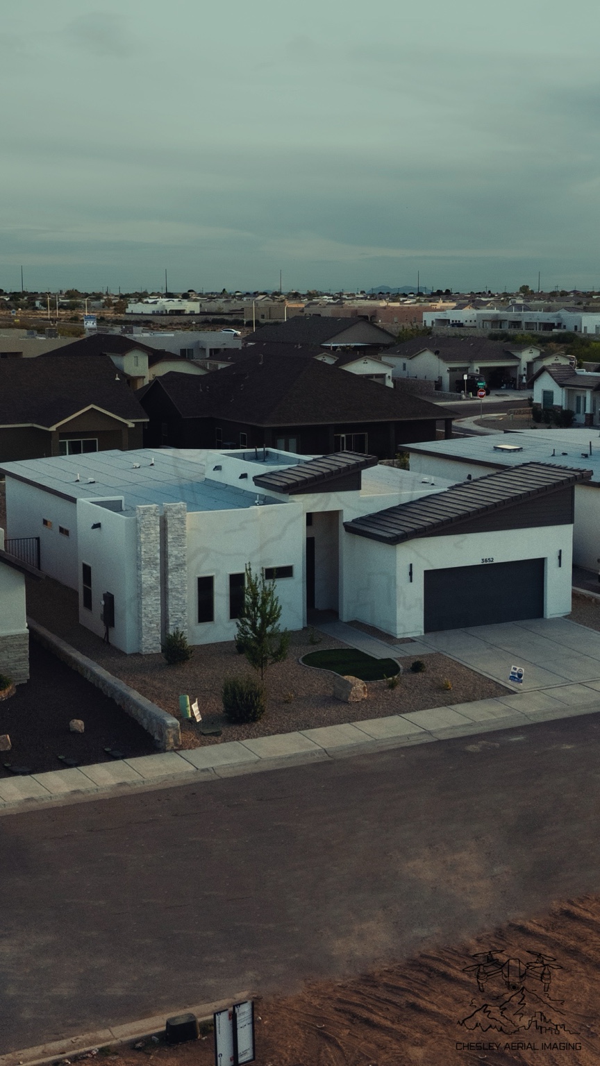
Real estate · Commercial projects · Aerial video · Twilight imagery
Request a Quote ↗Professional aerial mapping can help organize a property, field, or project into a useful visual reference for planning, documentation, and field review.
CAI can provide aerial maps and visual layers that help clients understand site layout, field variation, and areas worth a closer look.
Have a question or want to discuss a project? Get in touch directly or request a detailed quote below.
Share a few project details and CAI can follow up by email.
My name is Devin Chesley, and I am a second-year undergraduate student at New Mexico State University majoring in agronomy.
I have a passion for photography and agriculture, and I believe drones can make a major difference in both fields by helping people see properties, projects, and fields from a clearer perspective.